On a neap (7.3m) tide on Monday 22 March with six companions, I made my first trip this year to the Écréhous, the reef 10 km North-East of Jersey and 15km from the French coast.
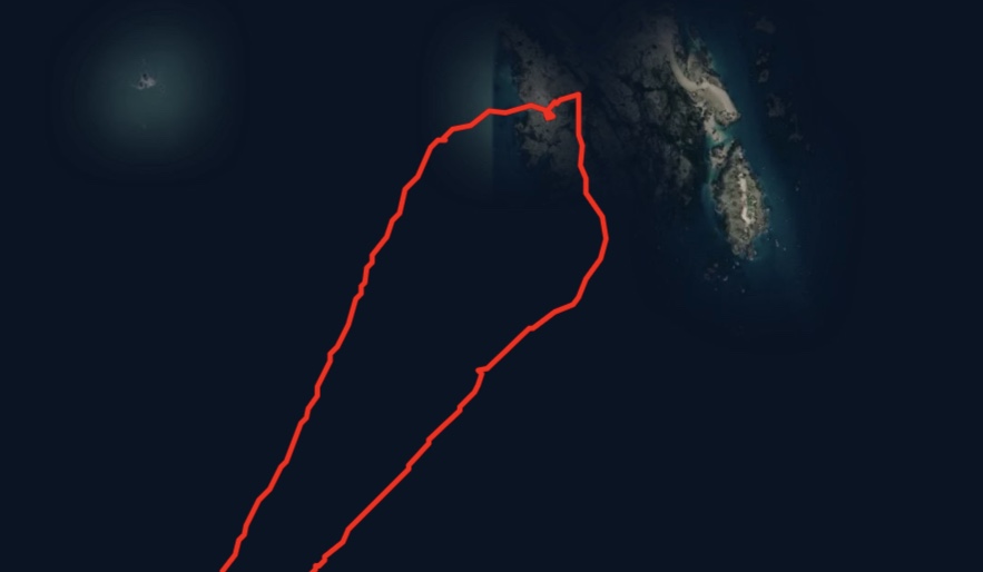
See the Strava record of the trip below.

A couple of things stand out.
< First how close the reef is to the maritime frontier with France, so close it is not so much on the frontier, as part of a frontier zone.
The border between Jersey and France is effectively closed. The sense of being on a closed border has never been so clear since the last year of WWII, when the Allies were in Normandy and Jersey continued to be occupied by German forces.
In Jersey, Covid 19 rates are close to zero and 49% of the population has received at least their first vaccination. Anne & I received our second jabs yesterday. With these rates of Covid and vaccination there is pressure to further release local lock down rules. In France Covid rates remain high and vaccination levels are low, the result of a mix of vaccination scepticism and government and EU failures.
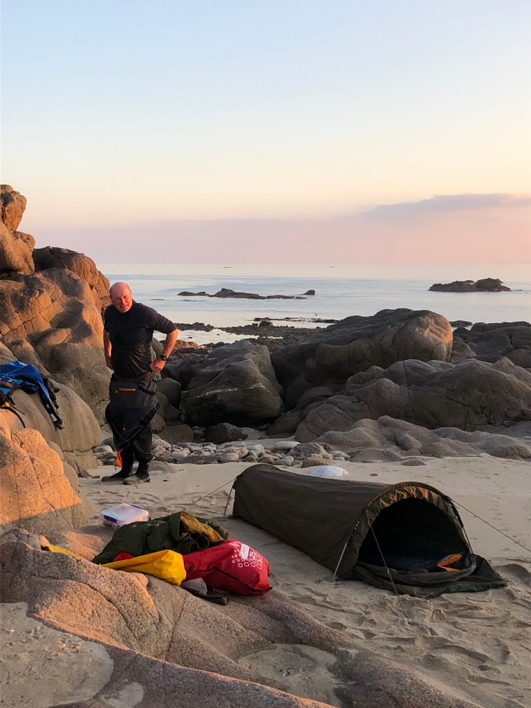
It was strange cooking outside on a clear night, enjoying sips of John’s two different sloe gins. We could see the lights twinkling on the French coast, where curfew is imposed at night fall (excessive restriction amounting to a breach of human rights?)
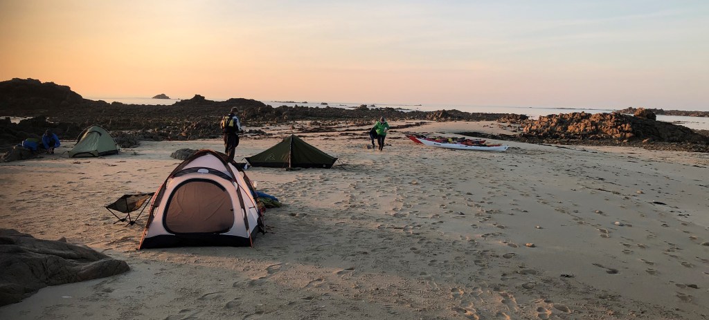
There were no yachts on the Écréhous on Monday night, so we had its pristine beauty to ourselves. However its proximity to France and the lack of policing etc means that, in breach of the border being closed, French yachts and fishing boats still visit, some crews landing, to wander around creating considerable unease for any visitors from Jersey.
< Second, the most exciting feature of Jersey’s landscape and seascape is the size of the foreshore, the intertidal zone between the spring high and low water tide marks. The Island is 120 sq km above spring HW, its foreshore 30 sq km. So the foreshore is equal to a quarter of the Island’s size above the spring HW coastline. This is extraordinary enough. Still more extraordinary are the offshore reefs, including the Écréhous, which in total are only 0.4 sq km above spring HW but have a foreshore extending to 27.6 sq km.
This explains how our route as shown on the Strava record through the reef, including stopping for dinner and an overnight bivvy, appears to be below HW. It was a calm night on neaps, so our boats & camping spot were within the intertidal zone, but that night above the HW mark. On springs you couldn’t have camped there.
The Strava record shows the small area of the Écréhous, corresponding to the islets of Blanc Ile, Marmotière and Maître Ile, above HW springs, whilst we we camped on an area below sea level on springs.
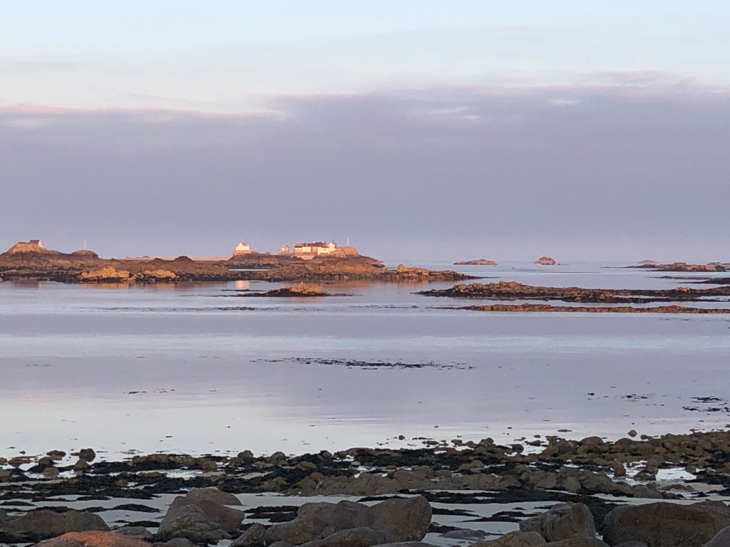
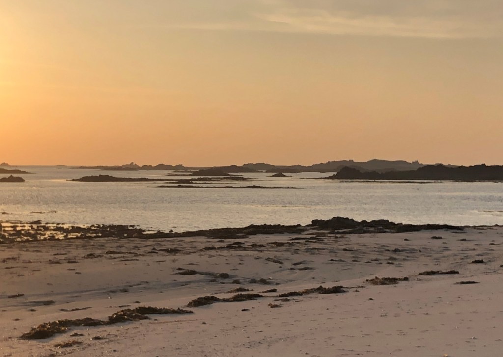
The photos below show just how beautiful this fragile and ever changing reef can be.