Angkor Wat is a truly impressive world heritage site. The central temple covers 1.6 sq km, apparently the world’s largest religious shrine. However it is only the most visited place in a sacred landscape, comprising 1,000 temples and shrines, and extending in an archaeological park over1,000 sq km, some eight times the size of Jersey. Anne and I spent five days exploring the area by Bike, cycling some 216 km. We were entranced; there was so much more to see.
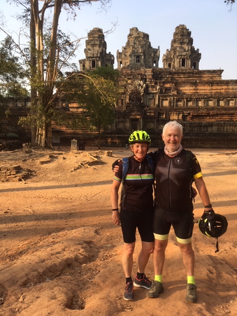
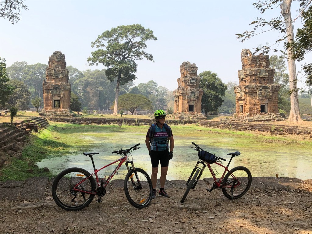
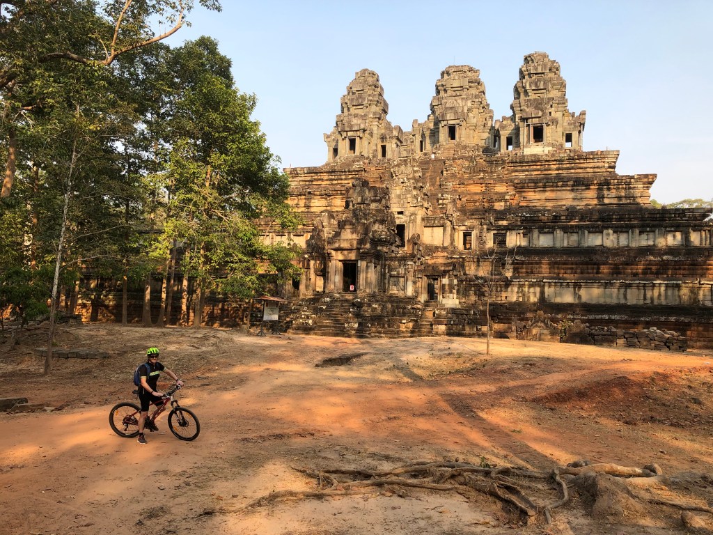
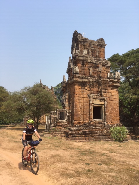
Riders at Ta Keo, a classical sandstone temple-mountain
Having cycled across three countries, Thailand, Laos and Vietnam, we had a peaceful week at Siem Reap in Cambodia, which has flourished as a tourist centre close to Angkor Wat. There is a smart international airport some 7km outside the city, the route between the two fringed with large hotels. There were relatively few visitors, as we were there just after Chinese New Year and the Vietnamese Tet Holidays and with the shadow of the Coronavirus. We stayed at a boutique hotel on the edge of the city.
You can visit Angkor Wat by tuk tuk. However we hired Bikes and bought entry tickets for the week for $72 each. This compared with a $32 entry ticket for a single day, so good value if you make repeat visits, which I thoroughly recommend. There is also a definite limit to the richness you can absorb on any one day. Anne & I found four hours exploration of the archaeological park on any day quite enough, after which we returned to enjoy relaxation in the hotel pool/ yoga etc.
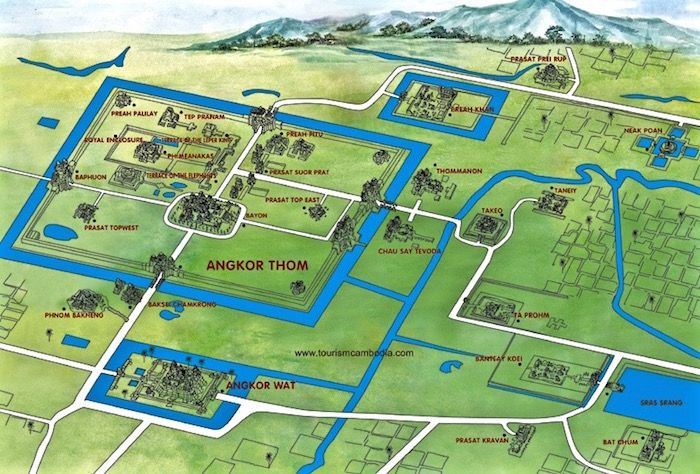
Stylised view of part of the archaeological park
The Map indicates the essentially geometric form of the landscape, its east –west, north-south alignment, corresponding to projection of an image of heaven on earth, the mandala, by Khmer monarchs. The pattern is repeated in the form of the surrounding bunds, where wet rice was cultivated.
The Khmer kingdom was an inland theocracy, managing water flow. The temples and city of Angkor are surrounded by artificial lakes and channels. 50km to the north are the hills of Phnom Kulen, from which sandstone used in the temples was brought. With rainfall on the hills, the rivers and streams flooded, eventually resulting in seasonal expansion of Tonle Sap, the Great Lake, to the SE of Angkor. Water management around Angkor resulted in holding back water in the bunds, encouraging rice cultivation.
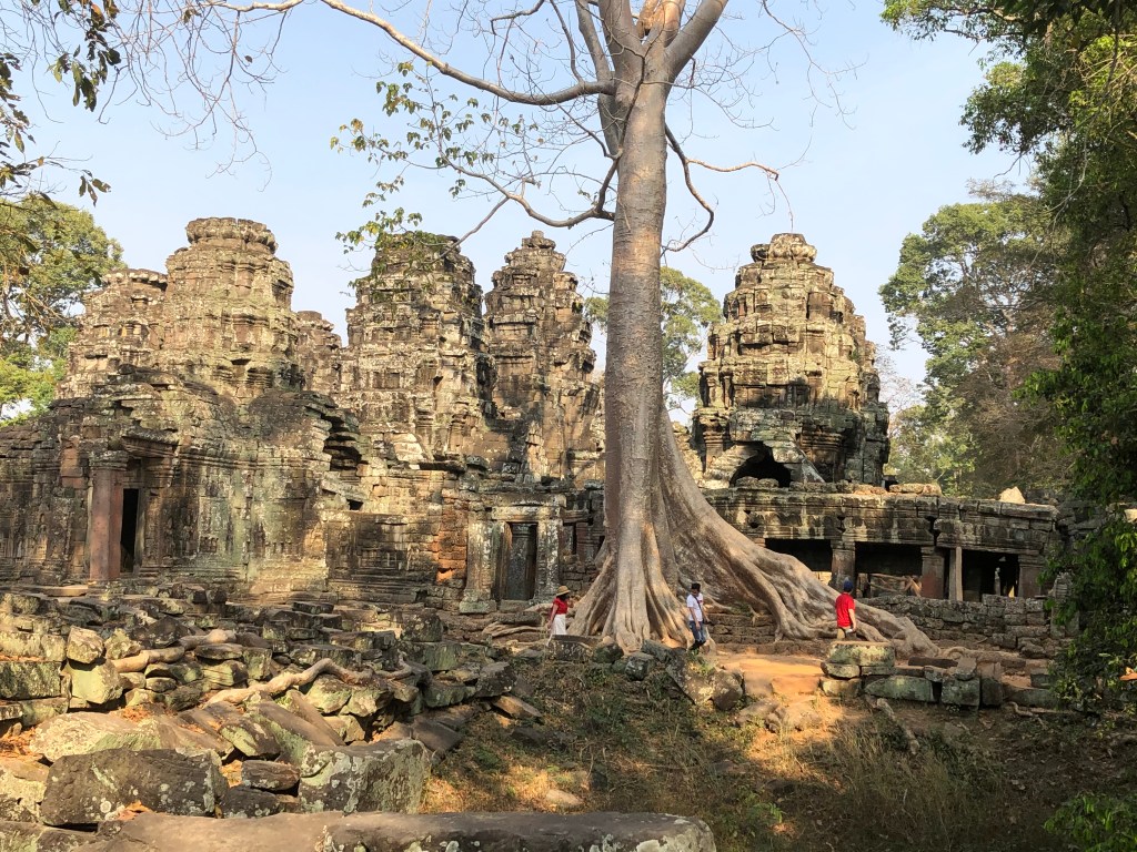
Ta Prohm, a temple monastery where students studied religious texts. Purposely it has been left in an overgrown state, showing that the archaeological park is also a (dry) forest reserve.
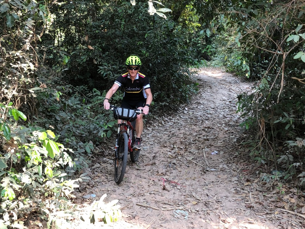
Sensibly we hired off road Bikes. There is a myriad of paths to follow through the forest.
The Suor Prat Towers beside a water storage pool
Intentionally in the first 3 days we avoided the main sites to get a feel for the landscape as a whole. The temples are constructed of three materials, brick , sandstone and laterite, a hard material formed from tropical weathering. The picture shows a temple constructed of sandstone and laterite.
Puckish figure at Banteay Kdei. Note the stone roof. It adopts the form of domestic roof titles, but in this sacred site is constructed of sandstone
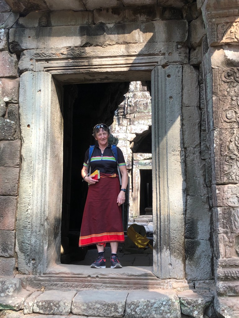
Anne at Banteay Kdei. She carried the skirt to wear modestly when exploring the temples
Apsaras, celestial dancers who entertain the gods and are the sensual rewards of heroes who die bravely
Anne in front of Pre Rup
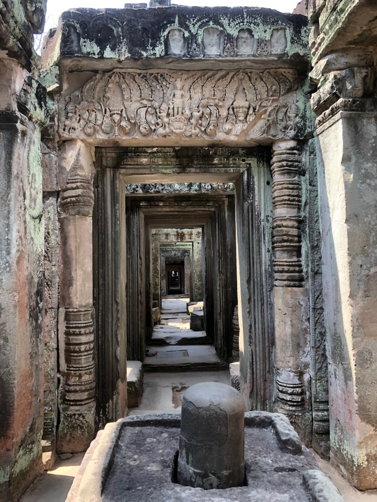
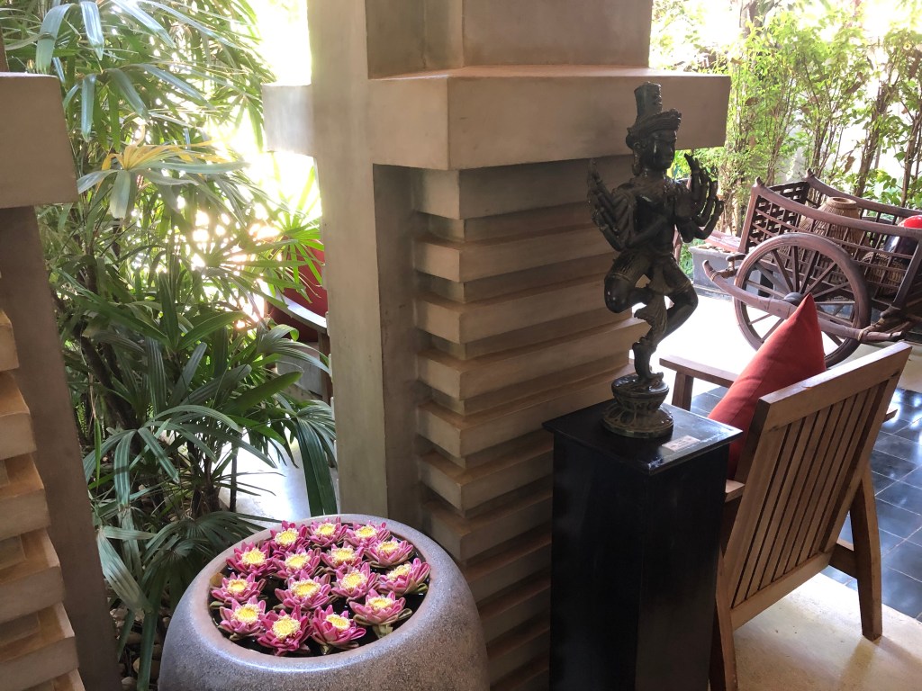
Passage interior at Banteay Samre with (phalic ) Lingam
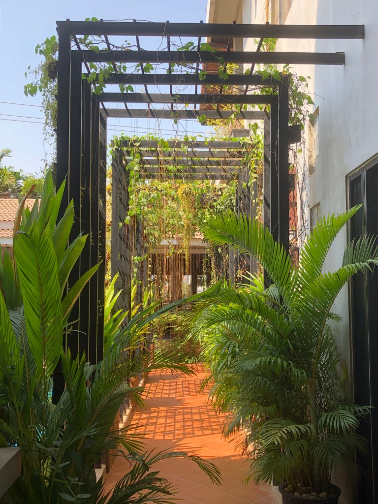
The architectural form (without Lingam!) repeated at our hotel
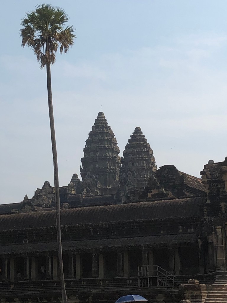
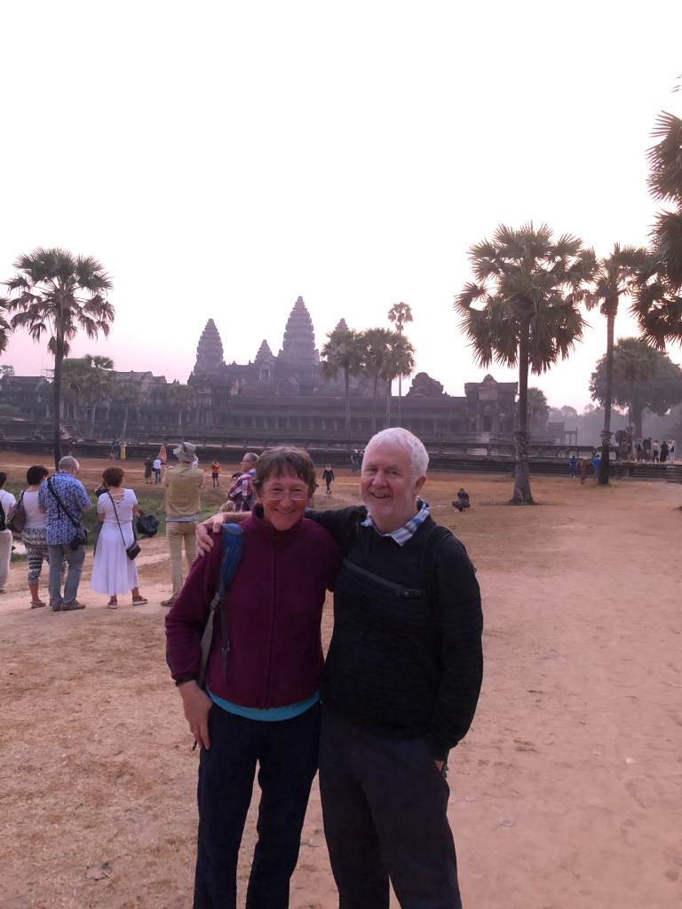
Classical images of Angkor Wat. The picture of Anne and me was taken just after dawn. We had hired a tuk tuk to take us to see the sun rising over the temple complex
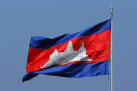
The quicunx ( five towers) image, four at the corners and a larger one at the temple centre is universal in Cambodia. It appears on the national flag
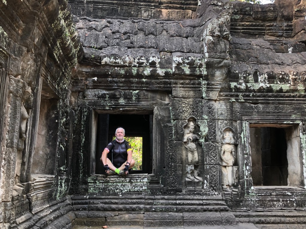
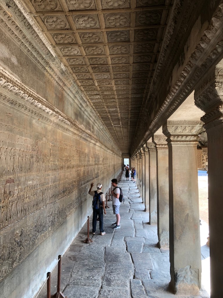
The temples comprise passages and terraces leading to further passages and crossings. Unlike approximately contemporary European cathedrals, there is no useable interior space
Angkor Wat, passage to nowhere with bas reliefs and classical columns
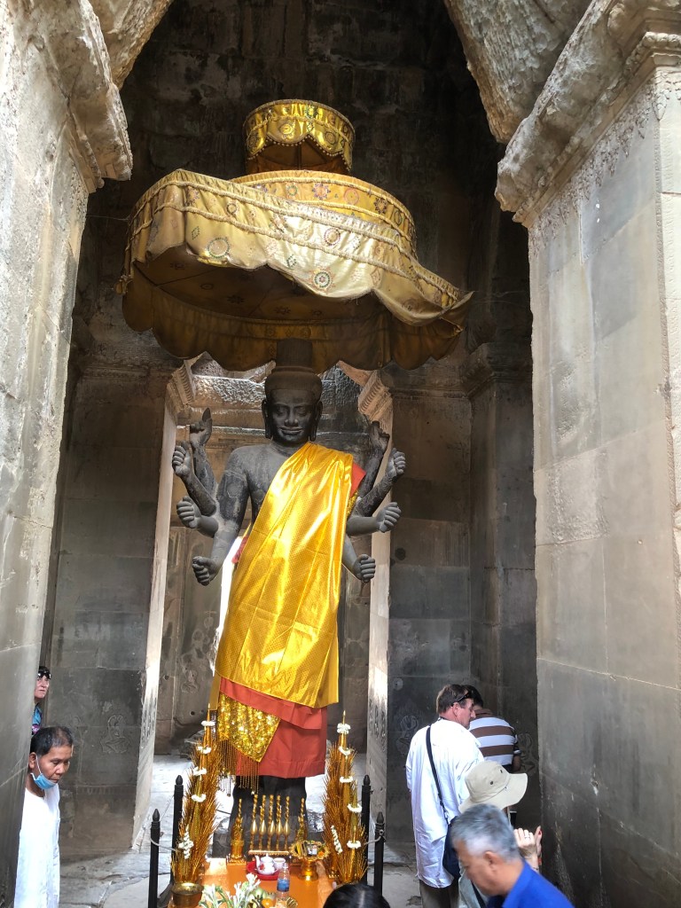
Deity at the entrance to Angkor Wat. The Khmer temples were generally dedicated to Shiva, the god of destruction and rebirth. Angor Wat instead was dedicated to Vishnu , the Preserver and Protector. Angkor shifted between Hinduism and Buddhism. The idol shows elements of both
Anne at Angkor Wat with bas reliefs
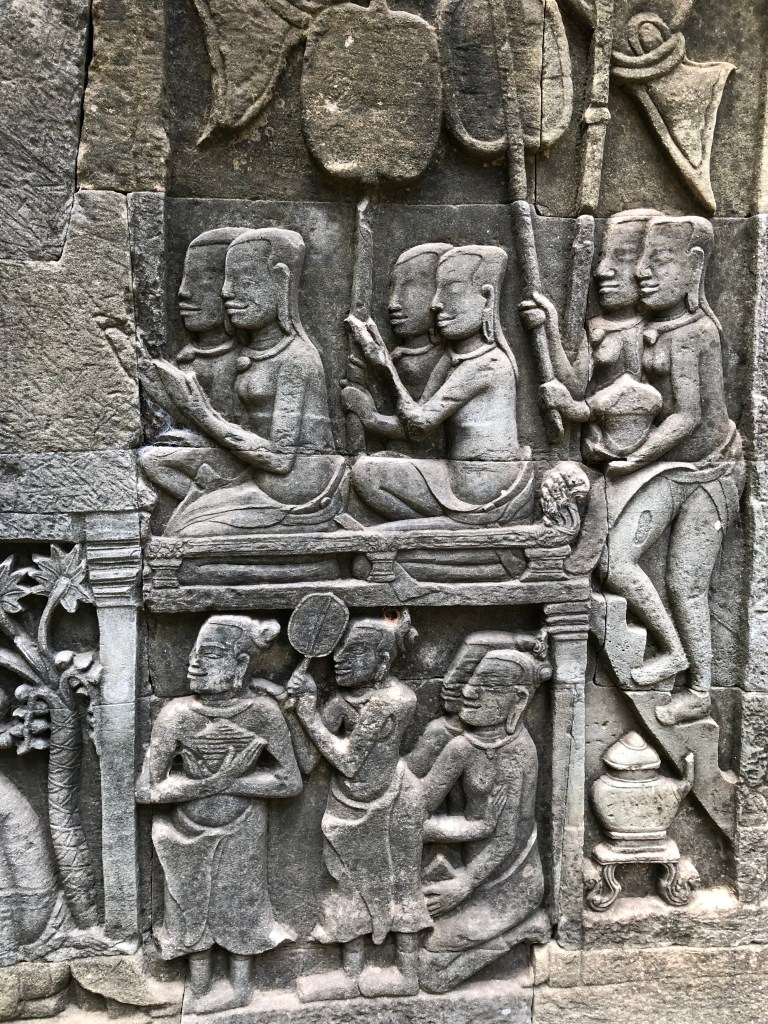
Bas relief detail
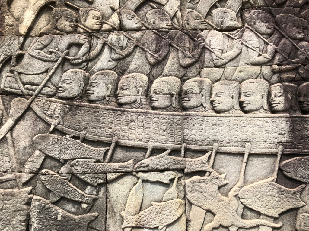
Another bas relief. It shows naval war which the texts record took place in Tonle Sap, the Great Lake, between the Khmer and their great foe, the Cham from what is now southern Vietnam
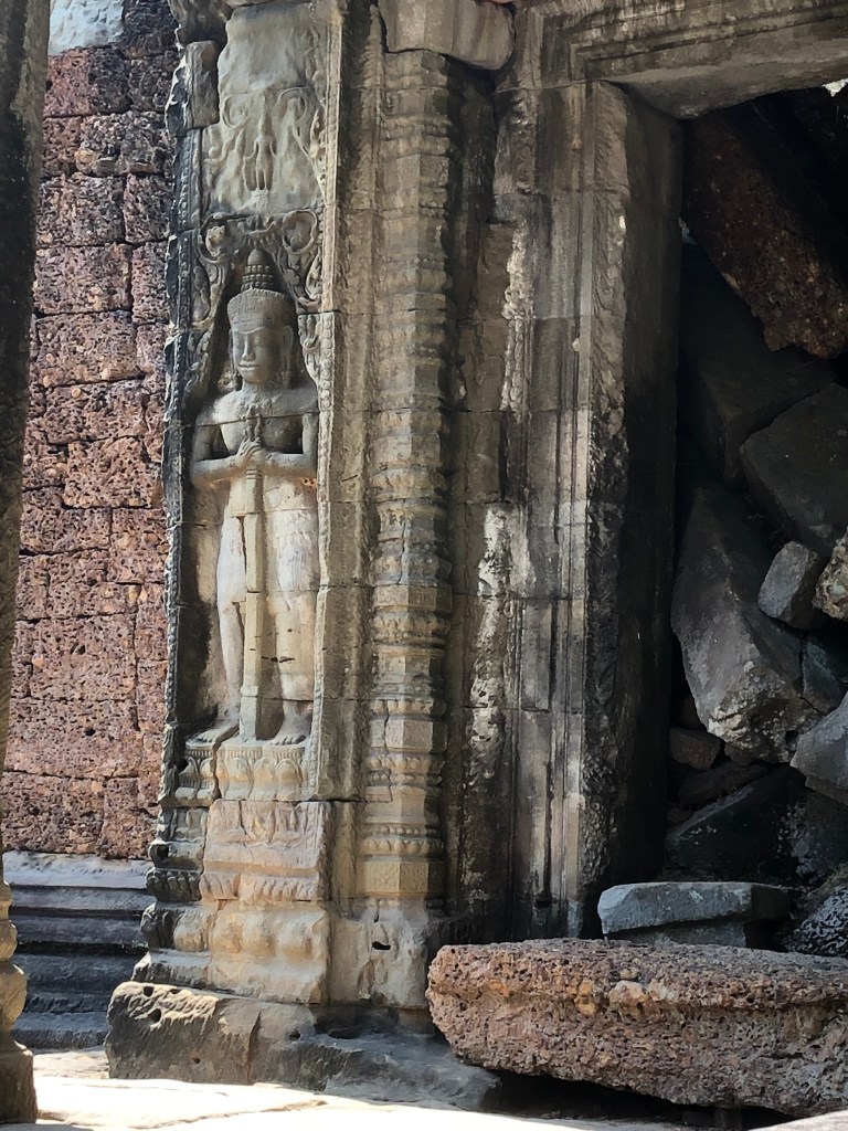
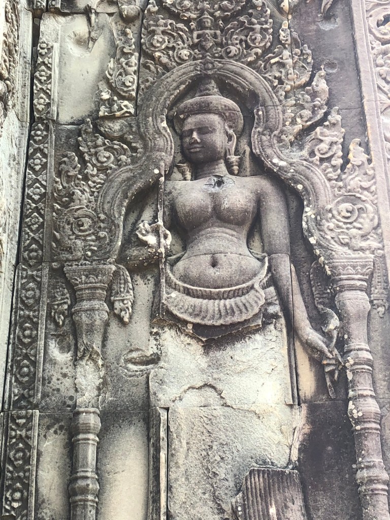
Image of devata, a female diety
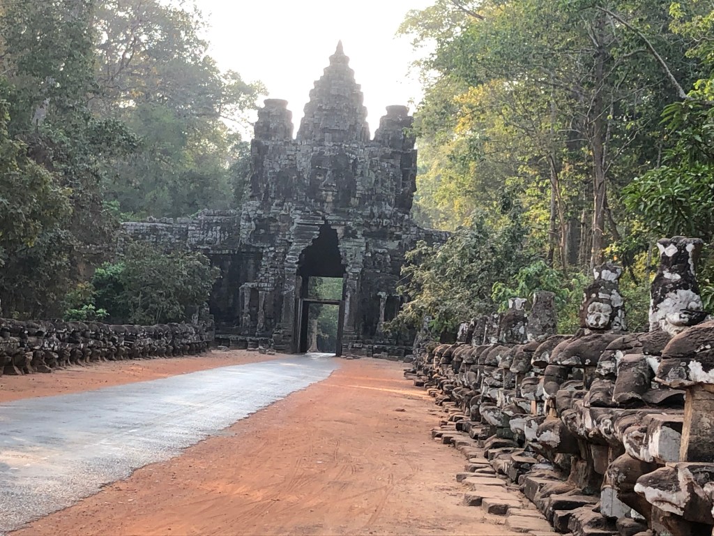
South Gate one of four entrances to Angkor Thom, “the Great City”. The entrance is flanked by statues of gods to the left and demons to the right. Angkor Thom appears very clearly on the above map as the square to the north of Angkor Wat. It was abandoned in the 15th Century
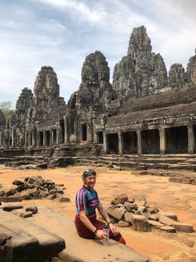
Anne at Bayon,famous for its Face Towers, at the centre of Angkor Thom
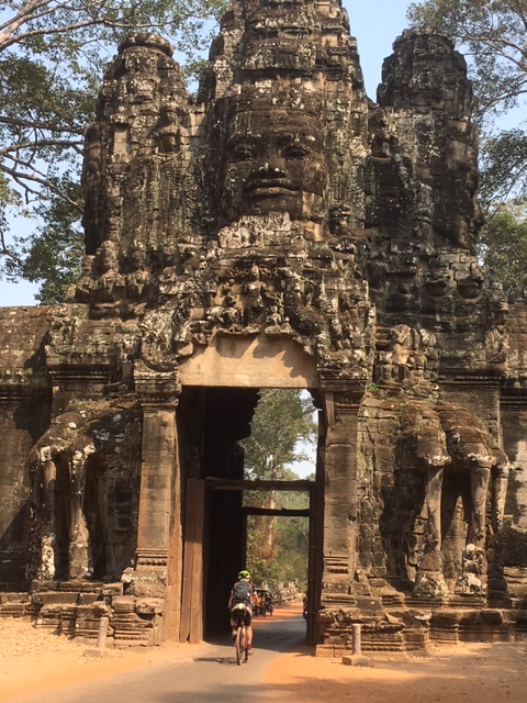
Face Towers also appear on the gates to Angkor Thom. I am shown riding through the Eastern (Victory) Gate, with elephant sculptures supporting its base
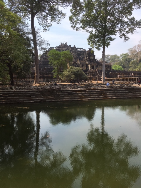
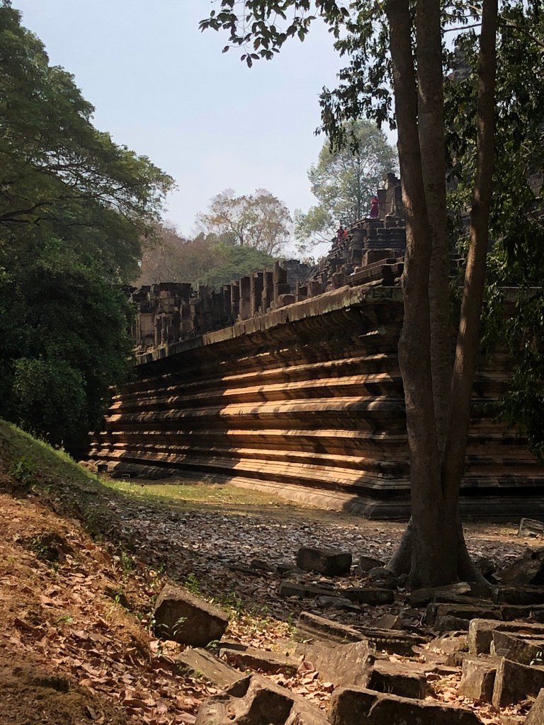
Pool on the approach to Bapuon
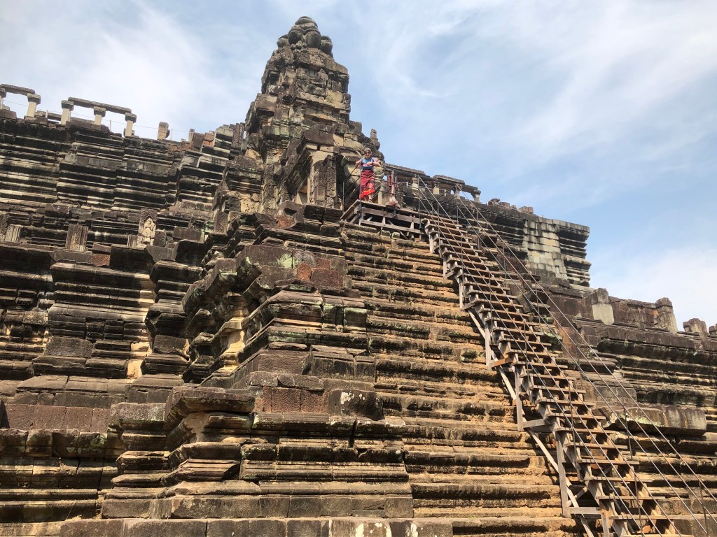
Bapuon, temple mountain to the NW of Bayon. It represents Mount Mehru, the world mountain of Hindu mythology and home of the Gods. Note Anne’s diminutive figure at the top.
Base of Bayon
Its Architectural features again repeated at our hotel
In my view, if you travel to South East Asia, you should hire Bikes and luxuriate in the Ankgor Wat complex, staying for at least four days. Six or seven would be better!